Get to know Sacred Mijikenda Kaya Forests
Sacred Mijikenda Kaya Forests is a natural landmark in Kenya.
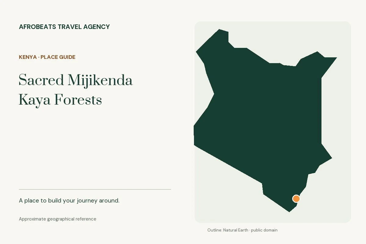
The geographical record places it in the Coast Province area.
As a geographical reference, Sacred Mijikenda Kaya Forests is approximately 15 km from Mombasa in a straight line. This comparison helps locate the place on a map; it is not a road distance or a transfer-time estimate.
Explore the surrounding map
These places lie nearby geographically. They are ideas to discuss together, with the practical route and access checked before adding stops:
- Rabai Museum · about 3 km in a straight line
- Tudor Creek · about 14 km in a straight line
- Mombasa · about 15 km in a straight line
Choose a pace for the terrain
Decide whether you want a short walk, a viewpoint or a longer guided outing. Tell the team about fitness, mobility and altitude concerns before choosing an activity. The name of a mountain or forest does not imply that a summit or every trail is accessible.
Before you visit
Check the exact route, guide requirements, weather and return time. Wear footwear suited to the terrain, carry drinking water and leave room in the plan for changed conditions.
Build this into a journey
Start a conversation about Sacred Mijikenda Kaya Forests with the travel team. Share your dates, the number of travellers, your interests and any access needs. We will check the visiting arrangements and explain whether a stop works with your chosen route.
One starting point is Nairobi Culture & Food Discovery. Its displayed price covers its own proposed itinerary; it is not an entry ticket or a confirmed package for Sacred Mijikenda Kaya Forests. Any extra transport, guide, admission or activity is confirmed and quoted separately before booking.
Place information & sources
This guide identifies a real place and helps with early planning. Geography sources support the location; they do not certify opening hours, public access or supplier availability. Checked on 4th October 2026.
LOCATE THIS PLACE
Approximate reference point · -3.9319°, 39.5961°
Open the mapThe reference point identifies the place; confirm the visitor entrance and route with your guide.